Global Cultures Interactive Map for Exploration and Education Using Coding
Global Cultures Interactive Map for Exploration and Education Using Coding
In today’s digital age, education is more than textbooks and worksheets. Students can explore global cultures from home or school thanks to technology, gaining valuable information about different societies. One powerful way to do this is through an interactive map, often built with code. These interactive maps link geography, history, and culture with computer science skills. This makes learning practical.
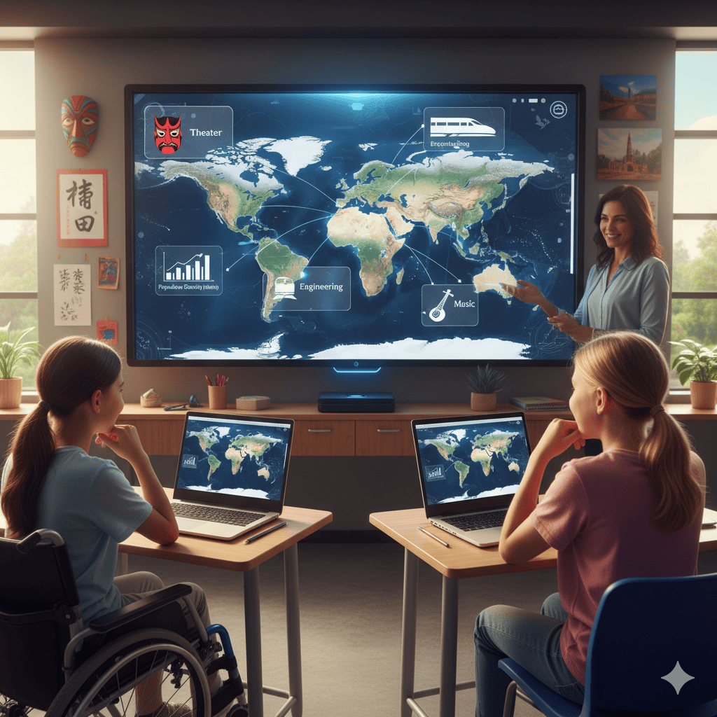
Teachers and professors use interactive online teaching tools so students can click, zoom, and learn about a nation’s details. A single example may relate science, art, music, and math in one class. Such digital learning tools help students gain knowledge while enhancing curiosity, respect, and awareness of peers and people around the world.
These initiatives benefit rural areas by providing equal access for all students. In this way, everyone can participate in significant events. Schools and universities also incorporate Google applications, YouTube lectures, and video conferencing, providing equal learning opportunities.
This teaching approach prepares students for the real world. They learn to work together, think critically, and connect with different cultures. By using digital learning tools, modern education aligns with its goal of creating globally aware, technologically proficient learners.
Why Explore Global Cultures Using Digital Tools?
Learning about global cultures with technology makes lessons more exciting. Instead of just memorizing facts, students can experience traditions, foods, buildings, and music from around the world in real time. Using videos, projects, or an interactive map helps bring the classroom to life and connect lessons to the real world.
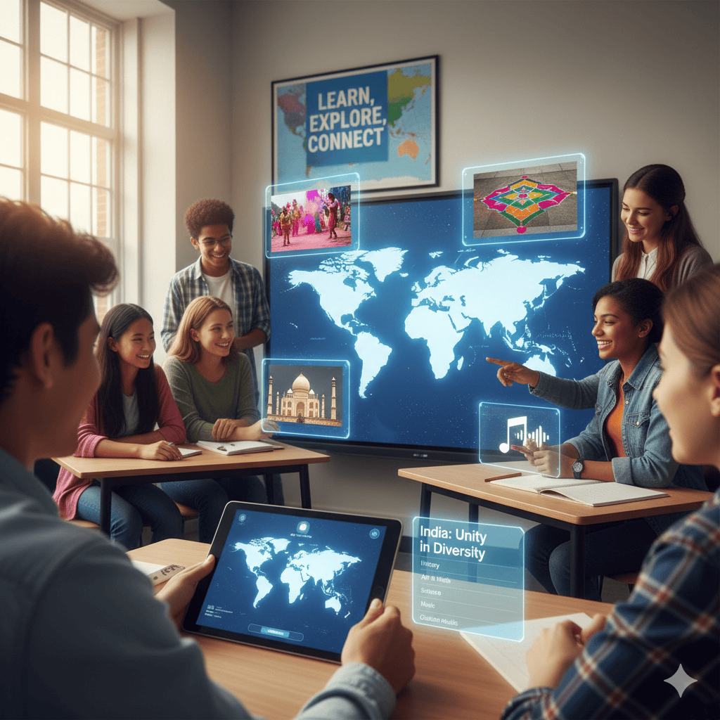
Interactive online teaching tools employed by teachers enable children to relate school subjects to real-life activities. For example, in a lesson regarding a festival in India, history in the festival can be taught alongside math in the artwork and science in the traditions. Such interaction prepares children for the curriculum of tomorrow, where creativity, co-creation, and comprehension of fellow students and communities are essential competencies.
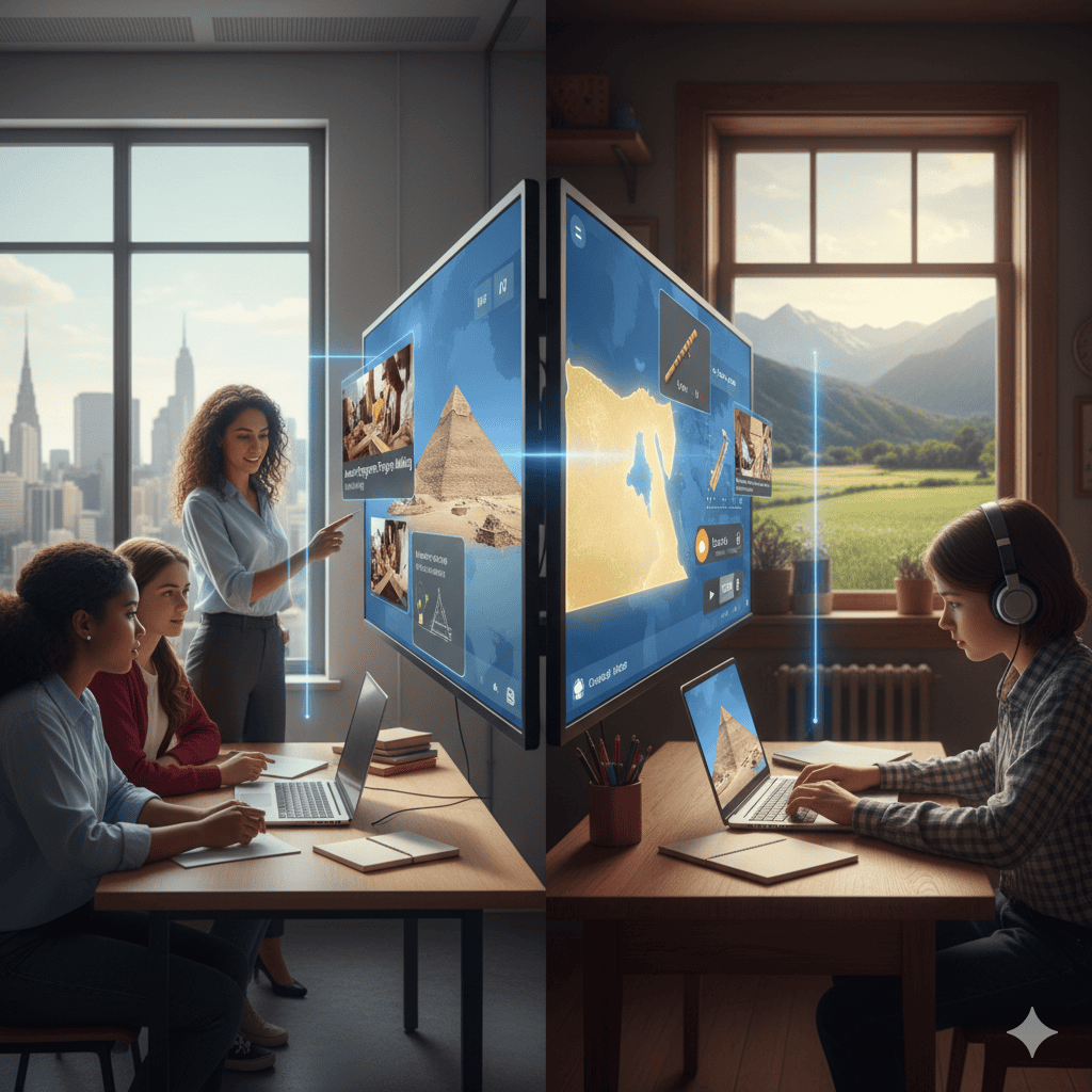
Digital resources also achieve equal access for students in rural districts, where opportunities for exploring global cultures might be scarce. Educators can give the same chance to all students by utilizing YouTube videos and interactive online teaching tools.
Whether in a university or school context, this instructional framework enables the vision of building knowledge, curiosity and respect around the world. With the use of technology, teachers make kids discover, participate and grow in a manner appropriate for significant tasks in work, research, and professional learning in civic life.
What Is an Interactive Map and How Does It Help in Cultural Exploration?
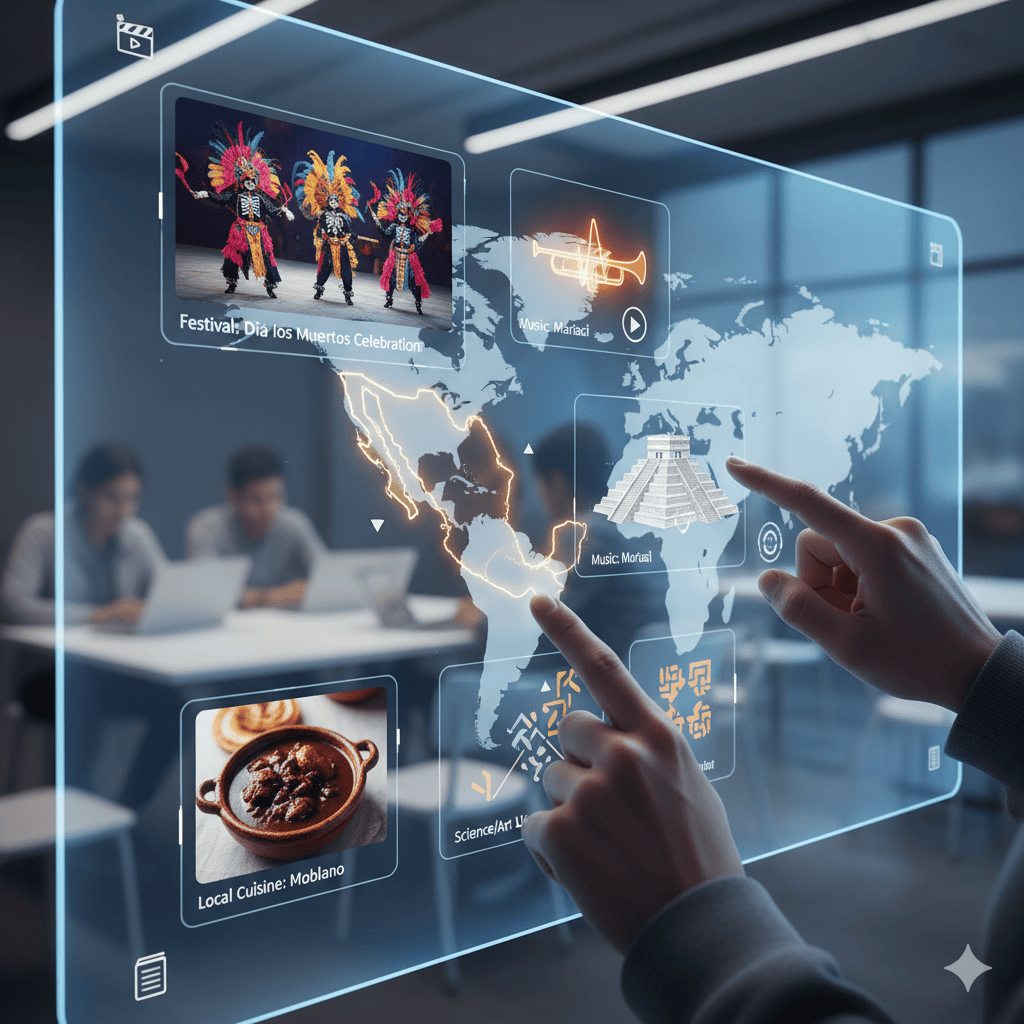
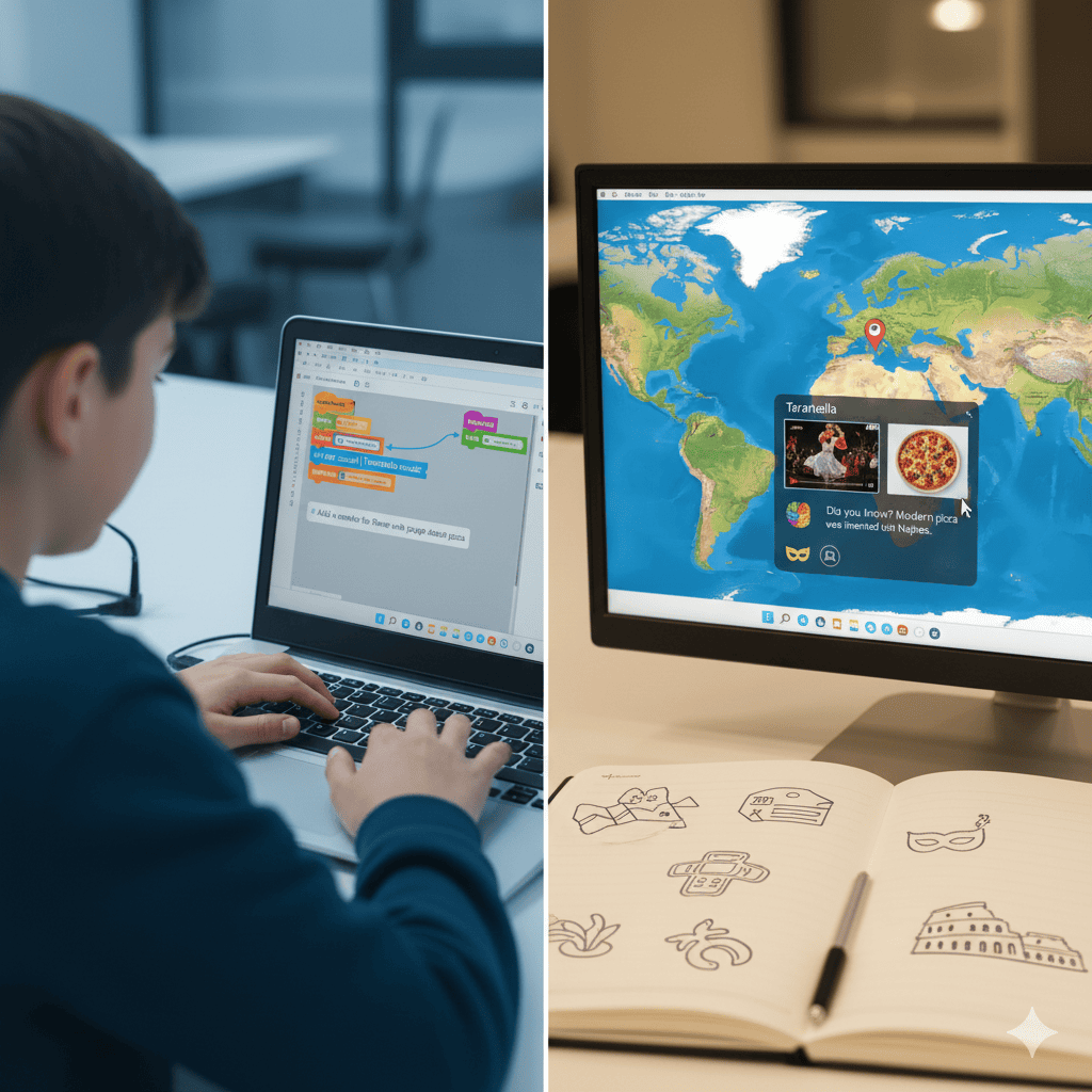
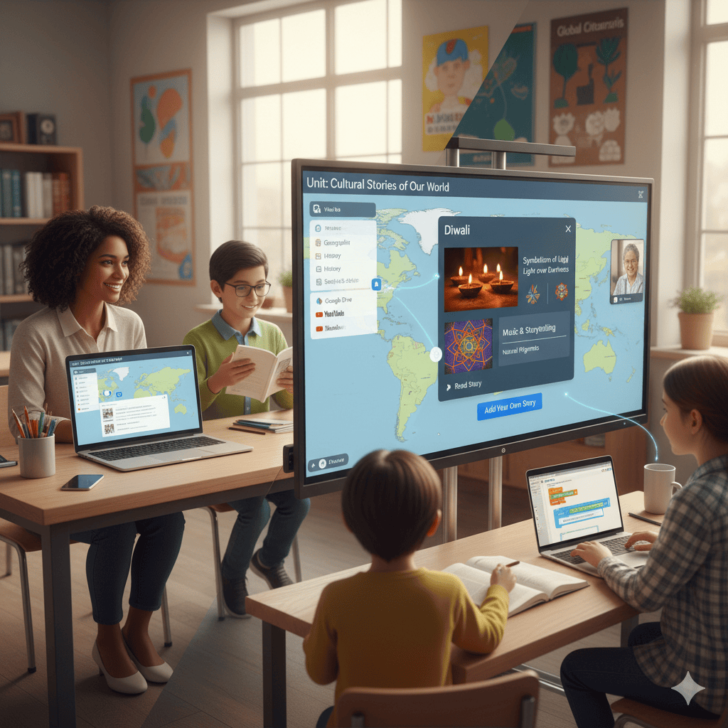
An interactive map is more than a static picture. It allows students to explore global cultures by interacting directly with data. They can zoom in on a country, read about its food, click to watch a traditional dance, or listen to its music.
These maps can be built by teachers, universities, or even students learning computer science. For educational programs, they provide a hands-on way to discover topics like:
Festivals and celebrations
Local foods and recipes
Architecture and design
Everyday traditions
Cultural connections to science and art
With active participation, students retain more and learn more with knowledge than they would by reading books.
When students build their own interactive maps, they don’t just study culture—they live it
Coding for Education: Building Interactive Maps
Coding is no longer a subject limited to computer science majors in universities. Today, even kids in elementary school can learn to code simple projects. Building an interactive map is one way to introduce them to science, logic, and design.
Through platforms like Scratch, Python or HTML, students learn to:
Add cultural data points such as food, art or festivals
Include animations or video clips for better engagement
Design user-friendly pages that provide information clearly
Combine stories and facts to make cultural studies a pleasure
It not only trains technical expertise but also allows students to experience global cultures in a way that sparks curiosity and creativity. This framework intertwines cultural awareness and professional learning, preparing students for possibilities in science, humanities, and coding applications.
Global Cultures and the Classroom
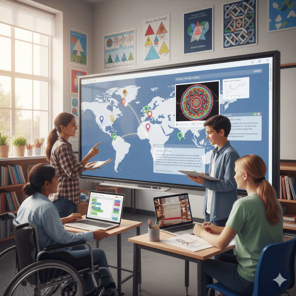
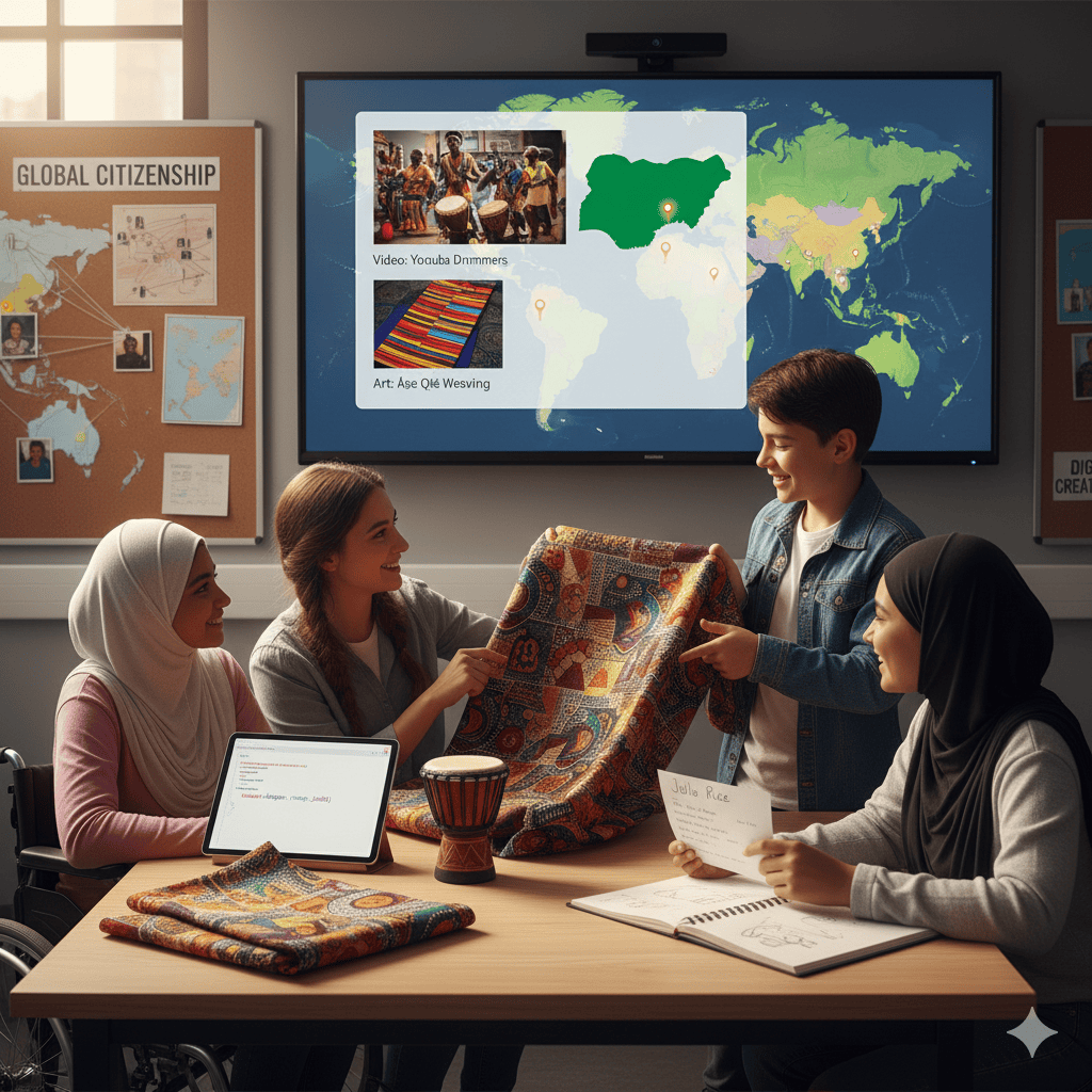
Integrating interactive maps into the classroom curriculum bridges the gap between technology and culture. Students can participate in projects where each learner codes a section of the map related to their own heritage. This not only makes the subject personal but also helps other students understand diverse backgrounds.
In school district programs, interactive cultural maps can be linked to multiple disciplines:
History: Mapping trade routes or migration patterns
Science: Exploring how climate influences food or architecture
Art: Showcasing traditional crafts or design
Mathematics: Using patterns in cultural art to explain geometry
The mission is not only to teach students how to code but to prepare them to live, work and collaborate in a diverse world.
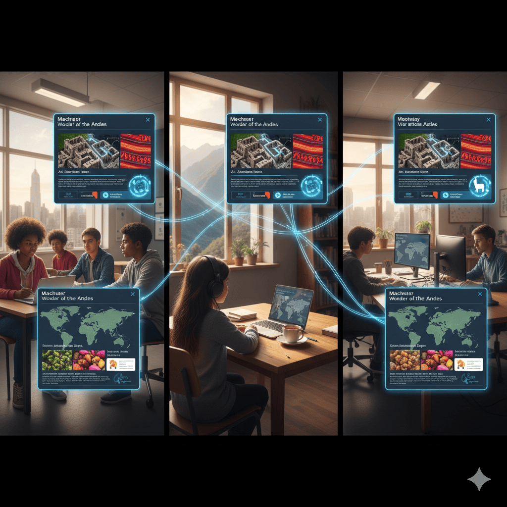
Collaboration Among Students
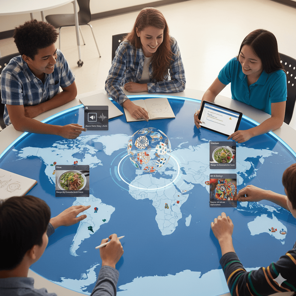
One of the most significant benefits of coding interactive maps is collaboration. When students work together on a shared digital map, they learn teamwork, respect, and empathy. Each student contributes something unique: a country’s tradition, a recipe, a song, or a story.
Share knowledge with other students
Build respect for diversity
Practice critical thinking while solving coding tasks
Develop communication skills for group work
By collaborating on real-world projects, children understand that the only limit to what they can build is their creativity.
Computer Science Connections
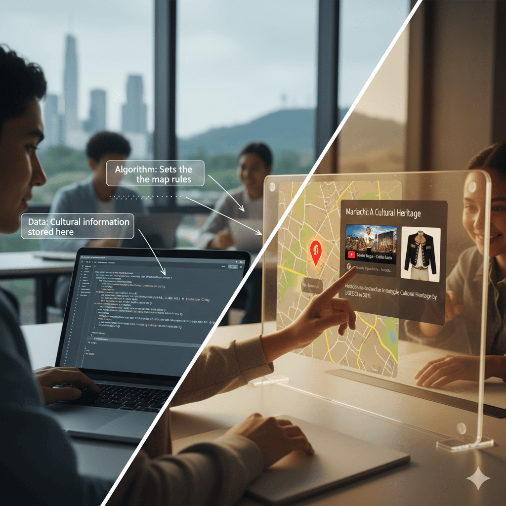
Interactive maps help students build strong computer science skills while exploring global cultures. In the classroom, teachers can use online digital teaching tools to show how algorithms, code, data, and design models work in real projects.
These tasks mix logic with creativity, allowing kids to learn while enjoying cultural exploration around the world. This approach to education through technology helps learners get ready for the future. It provides essential skills for school, universities, and careers in technology and more.
These programs connect science with culture. They show that teaching goes beyond technical subjects. It's also about understanding communities and building collaboration.
Educators can share digital tools, like Google Maps or YouTube videos. This way, students in rural areas and big cities can join in, explore, and learn together. These projects highlight the mission of education to support curiosity, knowledge, and engagement that connect life, art, and work in meaningful ways.
Integrating Interactive Maps in Online Lessons
Interactive maps help teachers design lessons that bring global cultures to life. Students can explore global cultures actively, not just read about them. They can discover traditions, art, music, and festivals from various countries through online digital teaching tools. This makes cultural exploration engaging and connects education to real-life experiences.
Educators can connect computer science to geography, history, and social studies by asking students to code cultural facts or tie stories to specific regions, integrating coding for education into lessons. This method supports the curriculum, builds curiosity, and encourages problem-solving. Students in urban and rural areas collaborate more effectively using digital learning tools.
For professional learning, schools can guide teachers on how to use digital resources effectively. For example, students could add cultural elements from their heritage. This would help create a diverse classroom model. These tasks help us understand the world better. They also boost the digital skills we need for the future.
With the right support and programs, these tools transform traditional teaching. Learners engage in cultural storytelling. They gain lasting knowledge. They link education, technology, and communities, adding real meaning.
Impact on Students: Skills Beyond Coding
The benefits of interactive cultural projects extend far beyond programming. While learners gain coding skills, they also grow in areas that are important for life and future opportunities:
Global awareness through exposure to other cultures.
Empathy and respect for diversity.
Critical thinking is required when solving map-related problems.
Collaboration while building digital projects in groups.
Example: In one school, students created a shared map showing local traditions. One child added art from their family’s heritage, while another uploaded recipes. These tasks taught both coding and cultural appreciation, demonstrating the value of linking life and learning.
Conclusion
World cultures, computer science, and map interactions help students connect life, learning, and the future. By combining coding for education with cultural studies, teachers interject coding and cultural studies, empowering students to engage in a multicultural world of digital work. This prepares them for working and understanding across cultures. These in-school programs show how learning can bridge science, art, and everyday activities and apply them to real communities.
These projects are not just about technology but also about fostering empathy, curiosity, and knowledge. They make students aware of different global culturesand promote respect for diversity. This prepares them for the opportunities they will have in the future. Educators can incorporate the use of Google Maps and YouTube videos.
This provides the children in the villages with the same access as those in the cities. This kind of instruction facilitates the goal of schools and universities by allowing for equal development and care. Educating children through technology provides them with the knowledge and tools they need to study, develop, and succeed in the workplace and their communities.
Frequently Asked Question
How can an interactive map enhance curiosity about global cultures beyond traditional maps?
Interactive maps let students move beyond static visuals and truly explore global cultures. Instead of only reading facts, learners click, zoom, and discover real examples of art, music, food, and festivals from each country. This form of cultural exploration actively engages students, deepens understanding, and creates a more memorable learning experience than traditional school programs or atlases.
Can students customize their interactive maps with unique cultural content or data points?
Yes. With beginner-friendly coding for education tools, kids can add local traditions, foods, songs or stories to their maps. This turns a simple project into a creative curriculum task that reflects both personal heritage and global diversity. Such activities also encourage collaboration with other students, helping learners respect and learn from one another’s cultural backgrounds.
What technology or devices are needed to participate in the interactive map coding project?
Most projects only require a laptop, tablet, or desktop with reliable internet access. Platforms like Google Earth, Scratch, or web-based interactive online teaching tools provide all the resources needed for learners. These accessible technologies ensure that students in rural districts or urban classrooms alike have the opportunity to participate and build the same skills in coding and cultural exploration.
How does creating coded maps help develop digital literacy and global awareness in students?
Coded maps combine computer science skills with global cultures exploration. As learners code data points, design layouts, and test their maps, they build critical thinking, problem-solving, and collaboration skills. At the same time, they gain knowledge of other cultures, preparing for a future where global understanding and digital literacy are equally important.
Are student-created interactive maps shared publicly, and how is privacy ensured?
Sharing depends on the teacher’s mission and school policies. Projects can remain private within the classroom or be shared with families for engagement. If maps are posted on platforms like YouTube, Facebook, or Google pages, educators ensure privacy by using permissions, limiting access, and protecting student data. This way, learners enjoy the opportunity to share their work while prioritizing safety.
Comments
Your comment has been submitted